
 |
| We took very careful steps up the river. |
As Kirk asked for the tweezers this morning to pull out the thorns in his hand, I looked at my palm and noticed thorns there as well.
"I'm sore," he said.
"Me too," I replied. "And I just twisted my ankle for the second time."
The hike yesterday was arduous to say the least. The bushwhack - canyon traverse - creek walk had us on 45 degree slopes of scree and talus in a very steep and deep river canyon. It was worth it though. We had to hike the 3-4 miles from the car to the river so we could find our take-out spot for when we packrafted back downstream. We lost several thousand feet of elevation after leaving the car and followed defunct two-track roads to the water. Our packs were heavy. Probably 35-40lbs. Heavy for the typical ultra-light backpacking we do. We both have obvious way of making our loads lighter, and next time I won't have forgotten the waist-belt for my pack! I have a webbing in place of it. NOT much of a substitute at all.
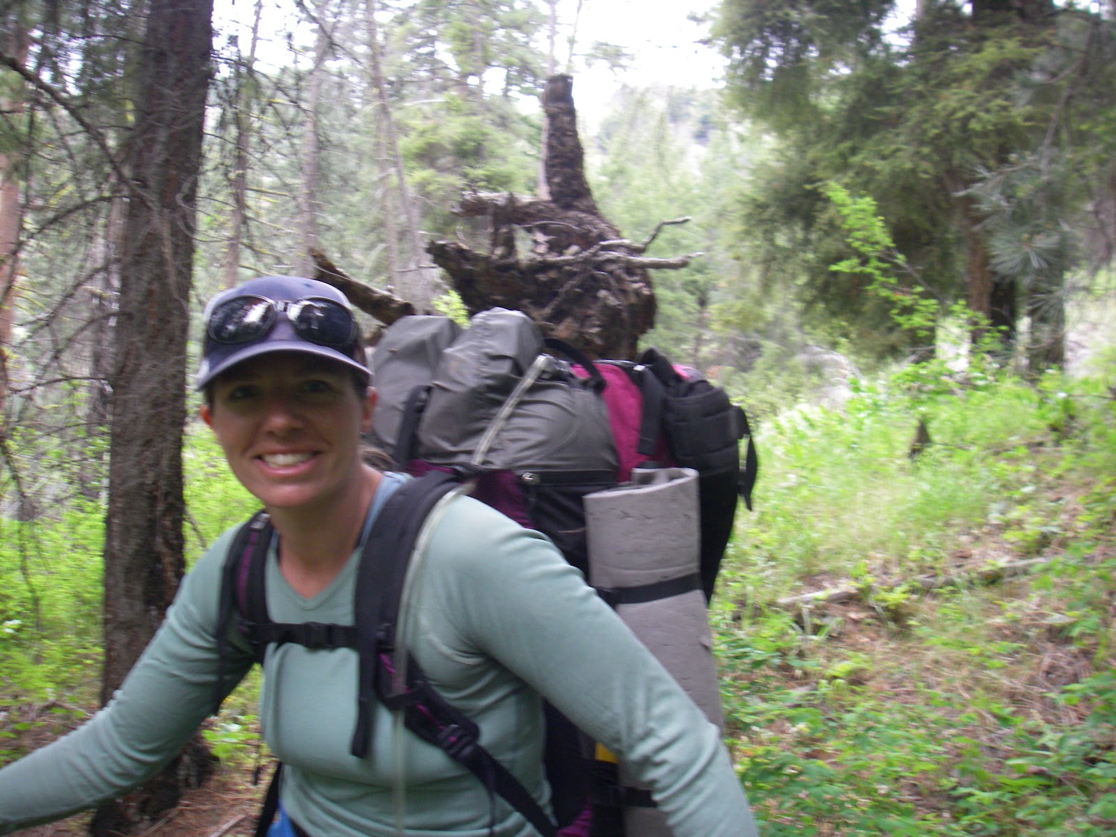 |
| Bushwacking can't get me down! |
Through bushes and the steep banks of canyons we saw traces of cows grazing. Poop everywhere. North Fork of the Crooked is in a wilderness study area. Developed in 1979, the area was set aside by the BLM for possible wilderness designation after study. To this day is has not received that designation, but the land is left with a strange in-between flux - any industry (mining, farming, grazing) that was in place in 1979 can be continued and maintained. Nothing new can go in. The grazing is still occurring today and any flat spot by the river has the tell-tale cow pies in abundance, even when situated under a steep slop of screen. If the cows are getting down, then so can we!
The only human traces we have found are beer cans and old roads. On our hike to the water we spotted a couple of Antelope, and the traces of Elk are everywhere. I imagine the fishing is bomber and plan to take our breakdown fly rod next time.
We ended the day at Lower Falls, a drop of about 20-30 feet too shallow (at the current cfs) for a packraft. Our plan for today is to hike up the path of least resistance and walk upstream as far as possible to then get in our packrafts and float back to camp. Leaving our tent and various things here today will make our packs a hint lighter, and the hiking easier.
 |
| Lower Falls |
No comments :
Post a Comment