
Vertical feet of rock make for some of the most spectacular vistas in North America. Glaciers, some just hanging on by a threadbare patch of snow, carved waterfalls and lakes and rivers into the unforgiving peaks over the eons, and among those imposing jagged edges lay a series of trails and waterways across the park.
Time to go exploring.
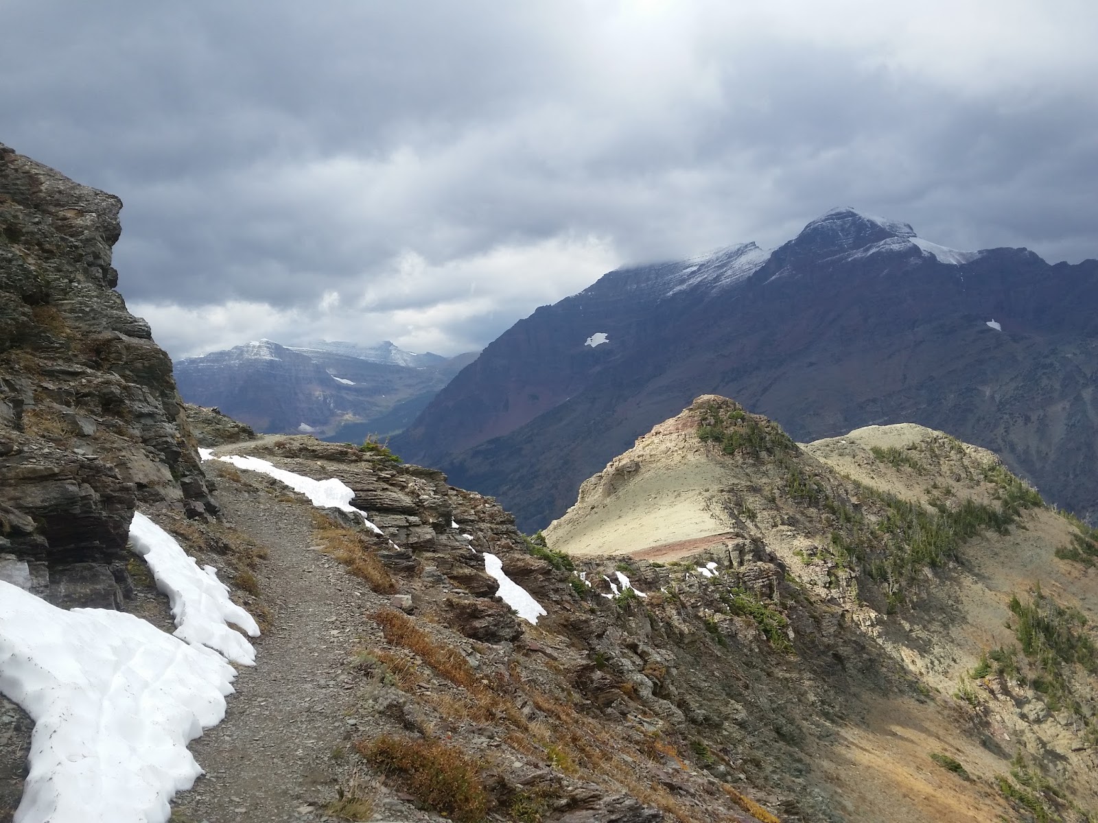
My last stretch on the Continental Divide Trail traversed almost 100 miles of Glacier's spine from just outside the sleepy town of East Glacier up to the Canadian Border at the Chief Mountain Trailhead. Many of the passes: Pitamakan, Triple Divide, Piegan, Ptarmigan, revealed landscapes that just got more and more astounding.
 |
| Pitamakan Pass |
 |
| Triple Divide Pass |
 |
| Piegan Pass |
 |
| Ptarmigan Pass |
Since I had spent most of the last week on the east side of the park, I first looked to the west to see what was possible.
When I realized Polebridge, the site of a famous bakery on the remote west side of the park, lay as a gateway to a few lakes and rivers, we decided to head that way. The North Fork of the Flathead River could have enough water in it for a good float, and we could get in some stunning lake paddling too.

Really it was the bakery.
We spent the first night camped at the edge of Bowman lake, car camping style. It was luxury after all those nights I spent this year with no camp chairs, no cooler, no pillows, and definitely no boyfriend. Car camping!!
The next morning we packed up our camping gear into our boats and headed out to the 7 mile lake to paddle to the far side for our first night out.

The going was fairly slow in the packrafts...they aren't the most efficient crafts for lake paddling...and it renewed our resolve to either make some sails for the boats or get our hands on some soon.
The afternoon wind picked up, but luckily it was at our backs, and the second half of the lake paddle went by in a flash thanks to the wind and waves that carried us along quite swiftly.
Camp that night was lake-side, and we passed the evening playing cards and just looking at the mountains.
The next morning we packed up our boats and gear into our packs. Dude. So heavy!!! I think this is probably the heaviest my pack has been this entire year, and for some reason I thought it would be a good idea to pack our boats in and paddle in some high-altitude lake. That meant thousands of feet of climbing with these things on our backs. In the early hours of the previous morning it had seemed possible to shove all sorts of things in our boats, we would be floating after all, but the next day when trying to shove it all in a pack, I bitterly regretted all the luxuries.
Time to hike! It was only 6 miles anyway to our next camp at Brown's Pass.
 |
| So heavy! |
 |
| Kirk grins and bears it |
A lot of the trail on the east side of the park had been gently graded, allowing hikers to keep their pace as the miles passed up to the divide. This side, not so.
It was steep and we labored with our extraordinary loads. Why did I want to go hiking after just completing a 2,700 mile trail?
We look lots of breaks, not only due to the weight, but this place was stunning.
We made it to camp in the late afternoon and after setting up our tarp decided we might just have enough time to make it down the pass to the nearest lake for some paddling. We had carried our boats all this way afterall!
The trail down the Thunderbird drainage was AMAZING. We spied the small Thunderbird Lake and decided it was the place to float. We had intended to make for Lake Francis, but didn't think we had quite enough time to paddle and make it back to camp before dark.

So beautiful.
Then back to camp. The next day we packed up and hiked the 13 miles back to our car at Bowman Lake. Looking at the map one last time I realized we had just spent the past few days on the Pacific Northwest Trail, a 1,200 mile route that travels from Glacier over to the Olympic Peninsula. Coincidence that I found myself on another long distance trail just days after completing the triple crown? I don't think so!
One more night at the edge of Bowman Lake and we headed back to Polebridge to see about doing a section of the Flathead.
We brought a bike in case we wanted to do a bike shuttle, but neither of us felt like riding. I just wanted to sit for a while and not move so much. We decided to launch on the North Fork of the Flathead at the Canadian Border and float back to our car if we could find a shuttle, but after the only guy available told us he couldn't drive a stick shift and it started to rain we decided to scrap the Flathead idea and go somewhere else. So many options!!!
We decided to head south to Bozeman Montana and get some data on the Yellowstone River from Tom and Laurie, an amazing couple I had met on the CDT when I stopped in Lander, WY, and who took me in for a few days when I was hiking near the Butte, MT area.
To Bozeman!


